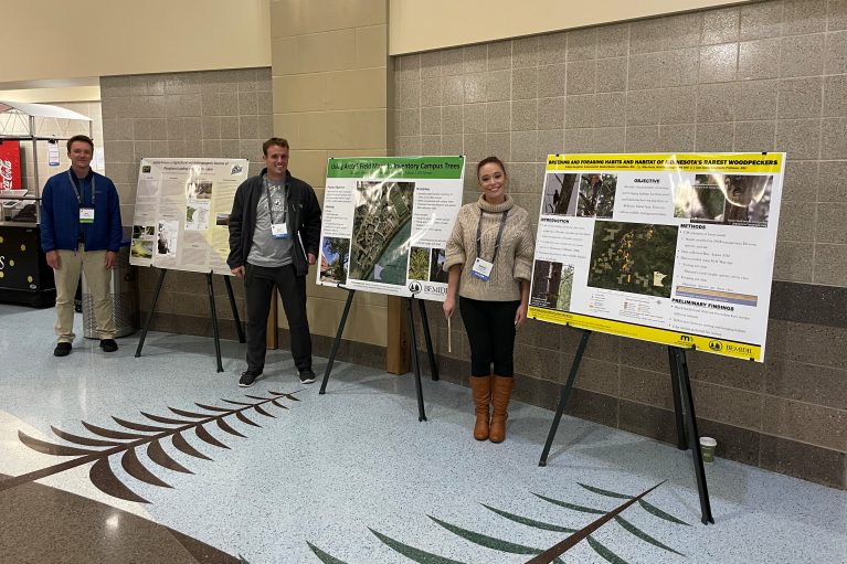
Three Bemidji State University students presented original environmental studies research at the 32nd Annual Minnesota Geographic/Land Information Systems Consortium Conference at Bemidji’s Sanford Center on Oct. 12-14.
Katelyn Bergstrom (environmental studies graduate student from Columbia Heights), Max Tostenson (senior environmental studies and GIS student from Perham) and Zachary Meyer (senior geography, sustainability resource management and global studies student from Green Bay, Wisc.) attended the conference.
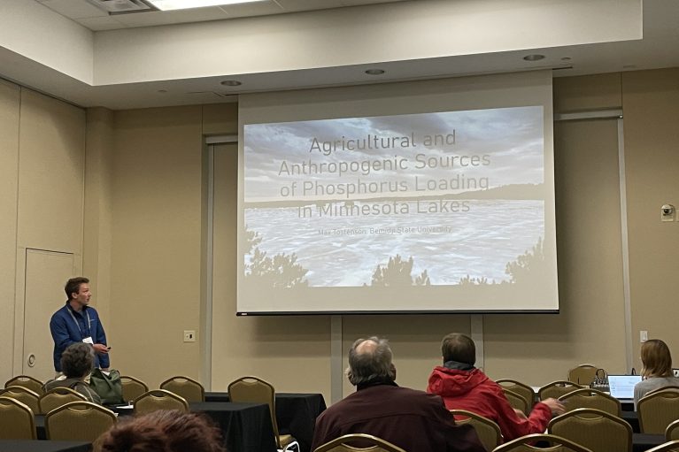
Tostenson’s research, ‘”Agricultural and Anthropogenic sources of Phosphorus Loading in Minnesota Lakes,” focused on the human activities that cause excess phosphorus in Minnesota lakes. Lakes with excess phosphorus do not meet recreation standards and phosphorus can damage fish and lake ecosystems.
Bergstrom and Meyer presented in the student poster competition.
Bergstrom’s poster, “Breeding and Foraging Habits and Habitat of Black-Backed and American Three-Toed Woodpeckers in Minnesota,” highlighted her thesis research about two unique northern woodpecker species. For her research, she spent the summer in Beltrami Island State Forest learning about their breeding and foraging habits and habitat. Woodpeckers are a keystone species in Minnesota, but little is known about these birds.
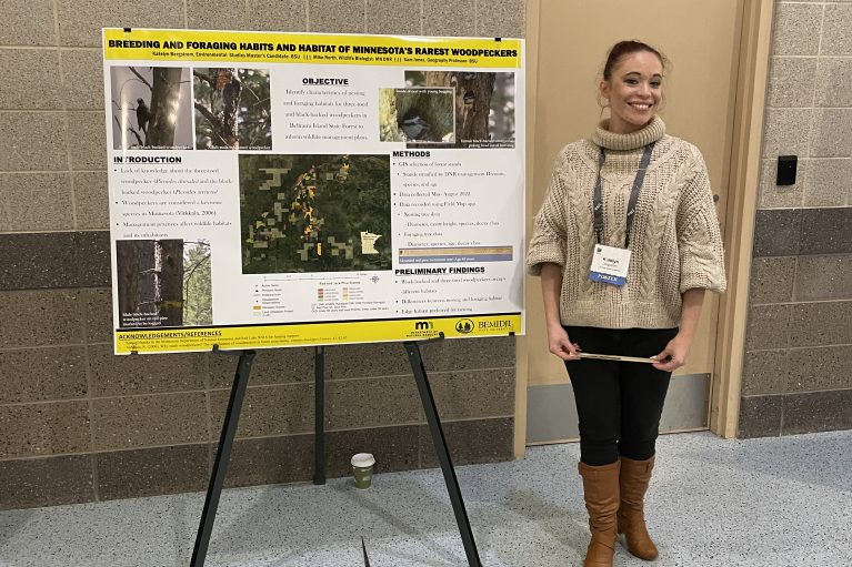
“Getting to present this research was not only a great opportunity for me to meet colleagues within the field but it also was a chance to tell more people about these birds,” Bergstrom said. “They are rare and so little is known about them that a lot of people have never even heard of these woodpeckers let alone seen them, so it was truly an honor to be able to inform more people about these amazing birds and to be doing this research”.”
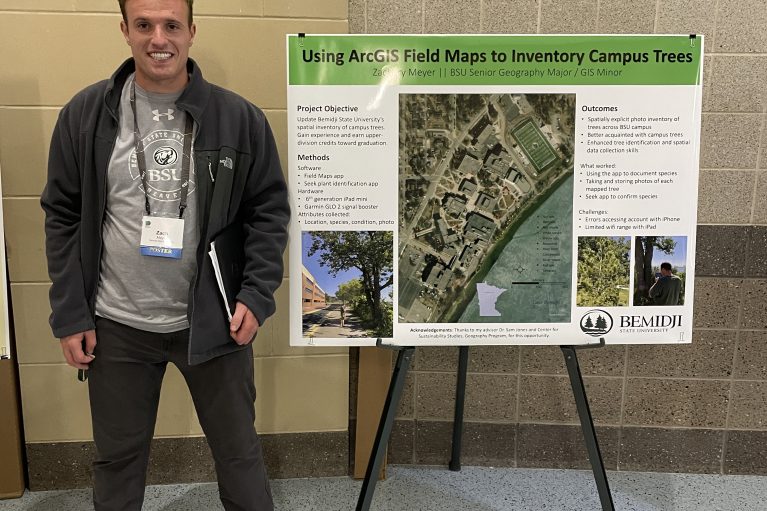
Meyer’s project, “Using ArcGIS Field Maps to Inventory Campus Trees,” involved collecting data on Bemidji State’s trees and creating a map of tree type, whether each tree was living and other relevant data using ArcGIS, a common digital mapping software used by geography professionals.
“I thought presenting my data at the MN GIS/LIS conference would help people learn more about my topic,” Meyer said. “I also appreciated the ability to network with professionals in my field.”
Bemidji State University’s Geography Program
A geography degree from BSU provides students with critical spatial awareness and analysis skills, critical for today’s evolving world. Students can choose an area of focus through specific electives, including earth science or geographic information systems (GIS) emphases.