
When geologists look across a landscape, they’re often as interested in what lies hidden as they are in what is plainly visible.
Bemidji State University students have a new tool to help them identify invisible features and resources in the ground beneath their feet. With funding from the Minnesota State colleges and universities, students use a portable ground-penetrating radar (GPR) system to help them uncover these hidden mysteries.
Dr. Miriam Rios-Sanchez, professor of geology, is introducing her students to the new radar this fall. She says groundwater and its environmental conditions are not easy to study.
“Think about a lake,” she said. “You can measure area, depth, how much water is coming in and out. Imagine that same lake, but now it’s underground and full of sand. So, if your questions are how much water you have, how deep the water is, how much sand there is — you don’t know.”
She says the radar can give students the skills they need to answer those questions.
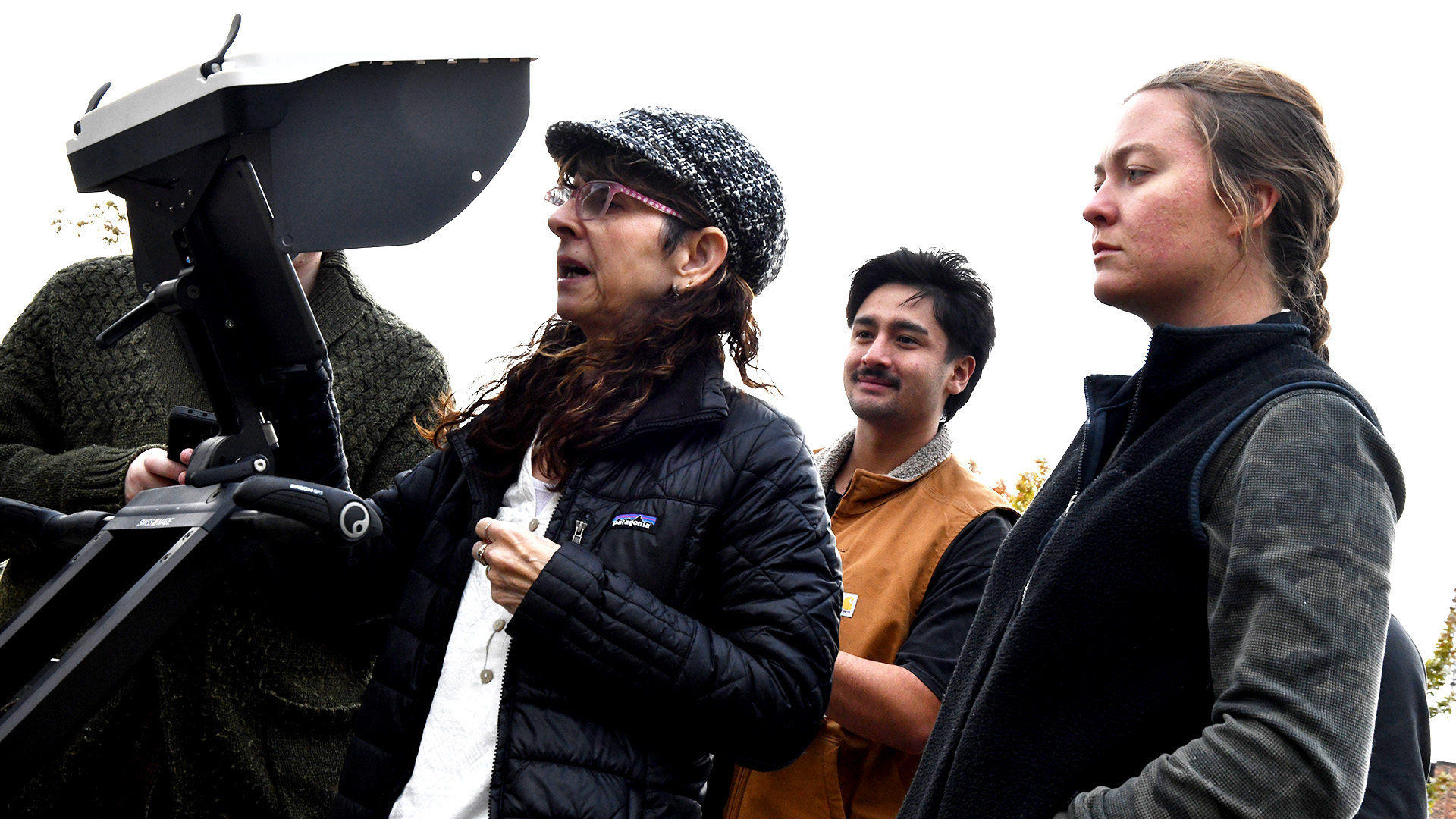
BSU’s GPR — a cart-mounted Proceq GS 8000 — was purchased using leveraged-equipment funds, a Minnesota State colleges and universities program which provides matching funds for equipment purchases.
BSU’s radar can detect objects as small as 1 cm buried under a foot of average soil. The software can also locate objects separated by up to 60 inches of normal concrete. Information from the cart-mounted radars is displayed in real time on an attached iPad Pro running a proprietary subsurface mapping app. The app helps BSU students not only to locate underground objects and features, but also to digitize findings and generate data that can be imported directly into geographic information systems (GIS) mapping software.
Mya Langerud, a senior environmental studies major from East Grand Forks, Minnesota, says the radar has helped her develop career-focused skills.
“Having access to the Proceq GPR improves my experience at BSU,” she said. “Instead of just learning about field equipment and surveys, we have the unique ability to actually run surveys using this technology. This will help me feel more confident about doing fieldwork in my future career.”
In addition to its use in geology and subsurface mapping, ground-penetrating radars can help utilities identify buried pipes and cables and have applications in forensic science, archaeology and infrastructure maintenance.
Rios-Sanchez says the radar will help her students learn how to gather and interpret data from real situations in the environment rather than relying on theoretical situations.
“I can spend more time teaching the method and application, and focusing on critical thinking skills,” she said. “This will give them skills — how to design surveys, how often to go into the field — and they are learning with the latest technology.”

Mya Langerud — senior, environmental studies (geohydrology emphasis)
Mikell Schoonover — senior, geography (Earth science emphasis) and environmental studies (geohydrology emphasis)
Ricardo Alzate-Soto — graduate student, environmental studies and sustainability & resource management
William Ogan — senior, environmental studies (geohydrology emphasis)
Anthony Garcia-Mejia — senior, environmental studies (ecosystems study emphasis)
Jobe Dorrlacombe — senior, environmental studies (ecosystems study emphasis)