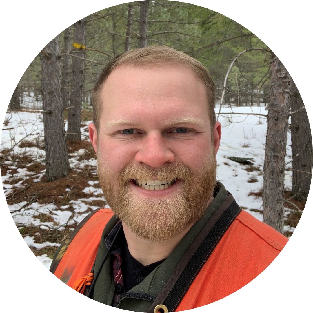
 Working knowledge of spatial principles and geospatial technologies is fundamental to the sustainable management of our forested resources, so my experience in the Geography Department at Bemidji State University was an ideal starting point for my career as a Forester.
Education
2019 – 2021 | Michigan Tech University
Forestry, M.S.
GPA: 4.00, Summa Cum Laude
2014 – 2019 | Bemidji State University
Geography, B.S. with emphases in Geographic Information Science & Natural Resource Planning
GPA: 3.64, Cum Laude
Impact
Physical geography always appealed to me and GIS was invaluable to gaining employment with the US Forest Service and the Minnesota DNR. Being able to create a practical map of my work area within the forest facilitated effective communication with coworkers and contractors alike. Biogeography and Landscape Ecology were very important when beginning my career, because these courses familiarized me not only with the tools and techniques that I now use every day, but also with natural processes such as fire ecology that shape successional outcomes in forests. This foundation enabled an easier transition back to school for my Master’s in forestry at Michigan Tech and attainment of my dream job – being a Society of American Foresters (SAF) Certified Forester.
Experience
2022 – Present | Forest Technician
Minnesota Department of Natural Resources
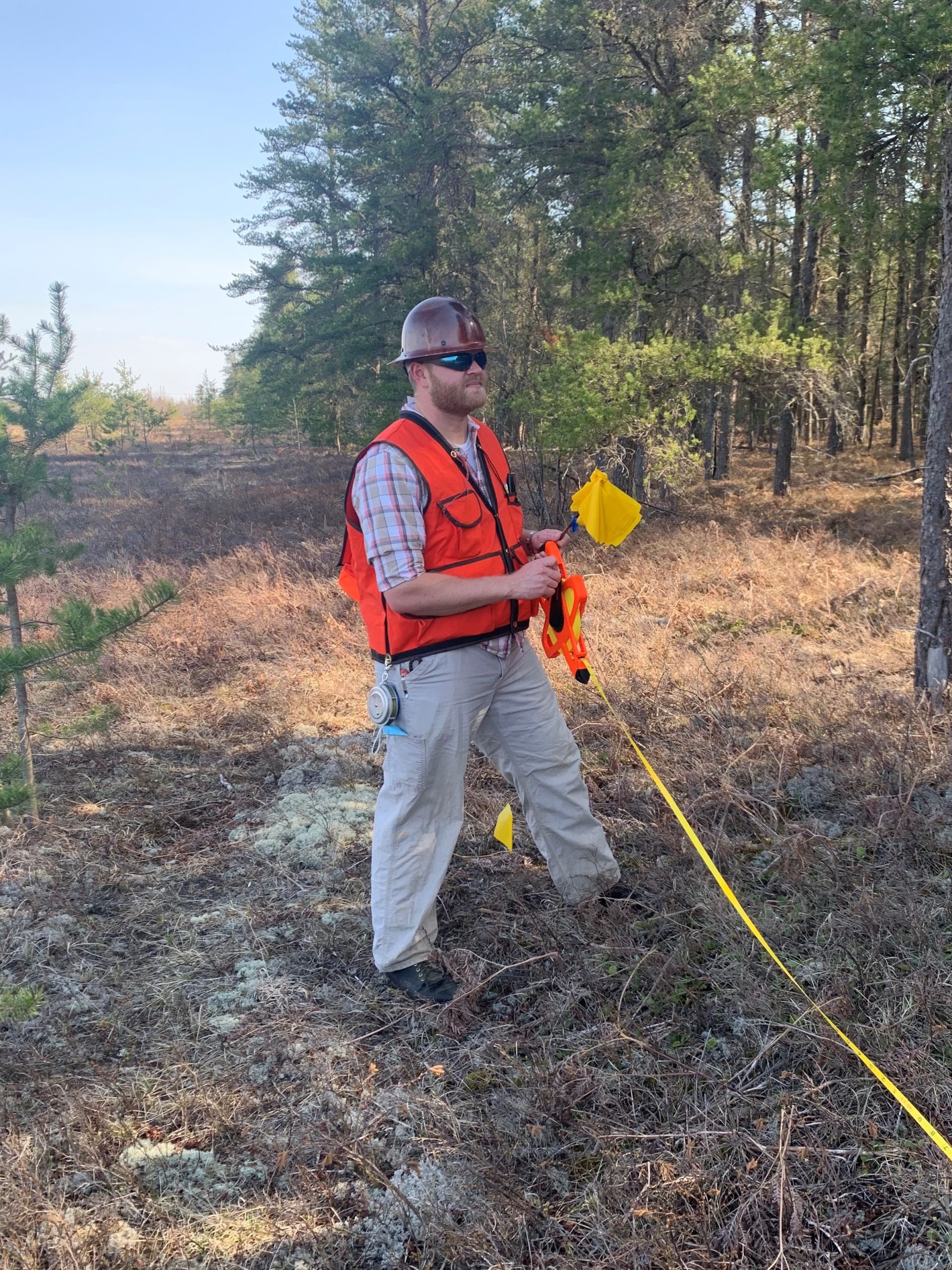
- Estimate timber volume and value to ensure sustainable forest management practices.
- Use ArcGIS and GPS to establish and mark timber sale boundaries.
2019 – 2022 | Forest Technician (Timber) GSS
United States Forest Service, Blackduck MN
Used ArcGIS and Avenza maps to delineate, locate and traverse timber sale units for pre- and post-sale surveys.
2018 | Fieldwork Intern
Minnesota Department of Natural Resources
- Used ArcGIS to create, edit, & analyze spatial data and to compose field maps.
- Taught GIS to less experienced colleagues.
- Measured trees for LiDAR research and sampled Forest Inventory and Analysis and Cooperative Stand Assessment plots using standard forestry equipment.